


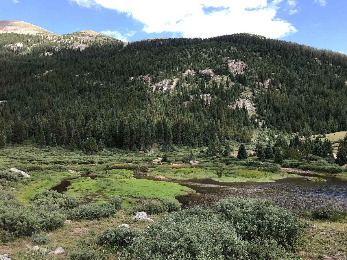
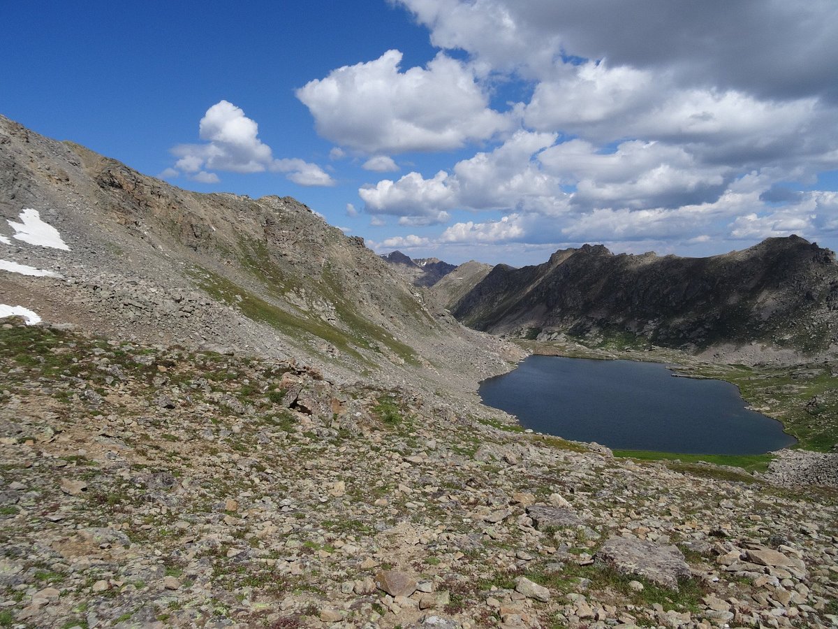
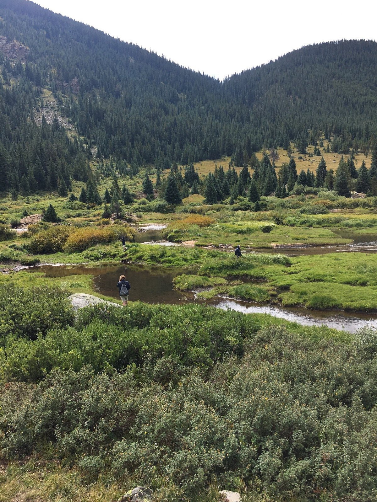

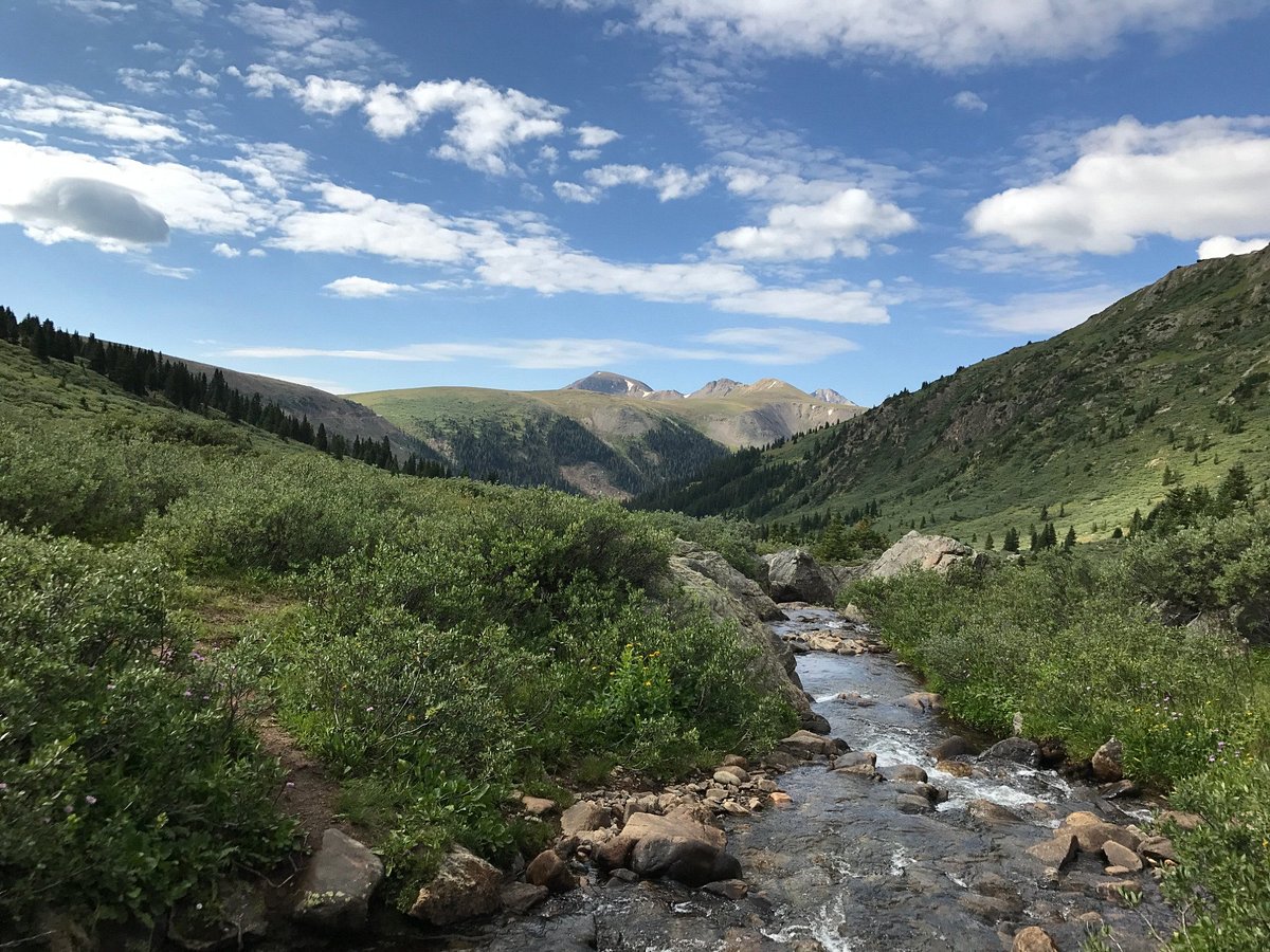
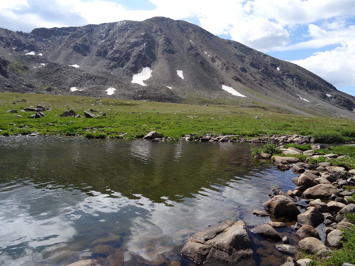
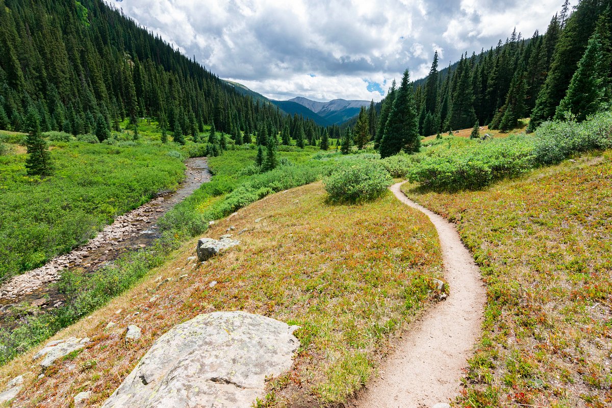
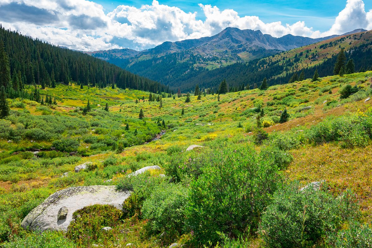
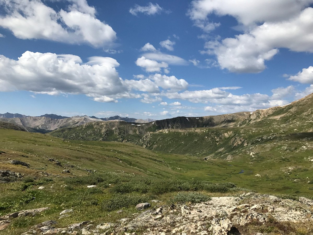
Lost Man Trail is a 14.0 kilometer moderately trafficked point-to-point trail located near Aspen, Colorado that features a lake and is rated as difficult. The trail offers a number of activity options and is best used from June until September. Dogs are also able to use this trail but must be kept on leash.
Trailhead to Lost Man Pass
Distance from Trailhead: 4.6 miles (round trip)
Ending/Highest Elevation: 12,810-ft.
Elevation Gain: 1,290-ft.
Lost Man Pass to Junction with South Fork Pass
Distance from Trailhead: 9.8 miles (round trip)
Ending/Highest Elevation: 11,610-ft.
Elevation Gain: -1,200-ft.
South Fork Junction to Lower Lost Man Trailhead
Distance from Trailhead: 8.8 miles (one way)
Ending/Highest Elevation: 10,540-ft.
Elevation Gain: -2,270-ft.
Optional Side Trip to Linkins Lake
Distance from Trailhead: 1.2 miles (round trip)
Ending/Highest Elevation: 12,008-ft.
Elevation Gain: 488-ft.
Rate us and Write a Review
 Own or work here?
